Portfolio
Real solutions. Real impact.
Every project below was scoped with a real stakeholder, built by a student team, and delivered for use.
How It Works
Nonprofits submit a project inquiry and get matched with a student hub. A team of 3-6 students scopes, builds, and delivers a finished solution, complete with documentation and a handoff call. No cost to the organization.
01
Submit
Nonprofits describe their project need and data context.
02
Match & Scope
We pair you with a hub and co-define a concrete, scoped deliverable.
03
Build & Deliver
The student team builds, tests, and hands off the finished tool.
Type
SDG
Showing 9 of 9 projects
Greenpeace
Annual Plastics Brand Audit
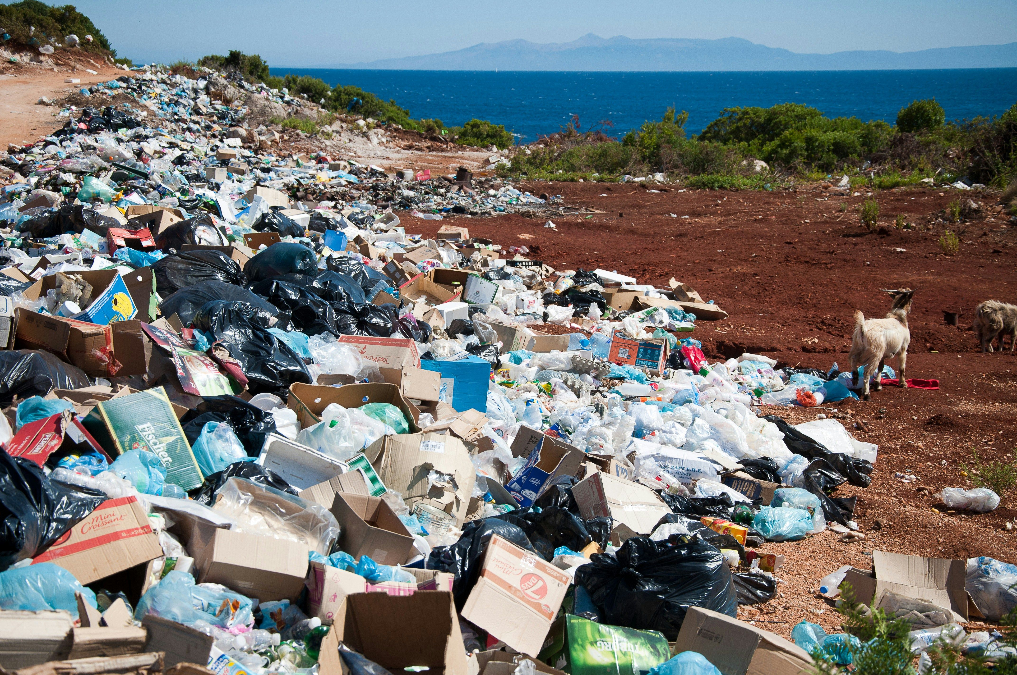
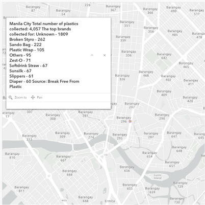
An interactive web map showcasing the 2018-2020 plastics brand audits; visualizing the work of thousands of volunteers and calling action to identify brands responsible for plastics pollution.
Helios
Campus Solar Dashboard
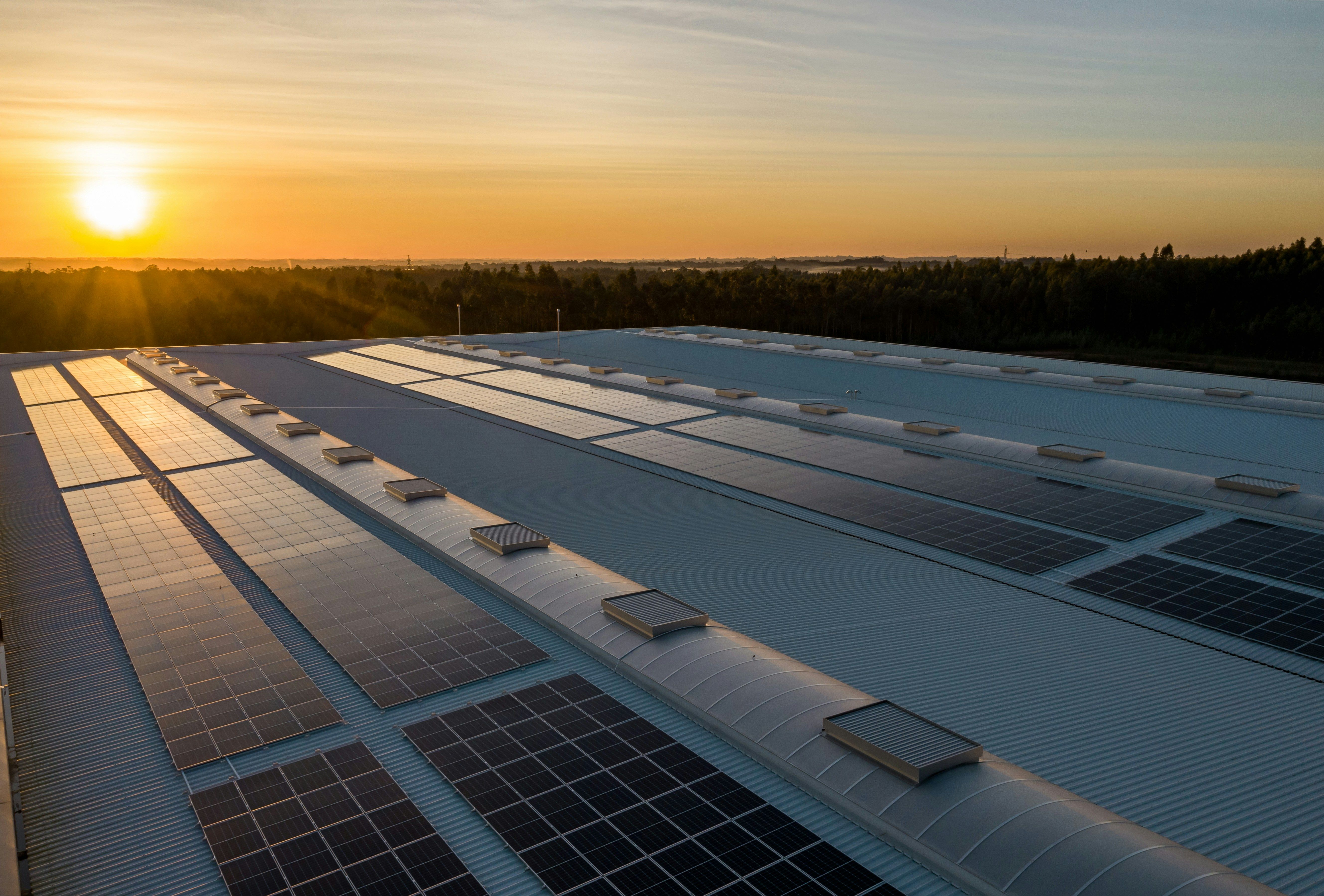
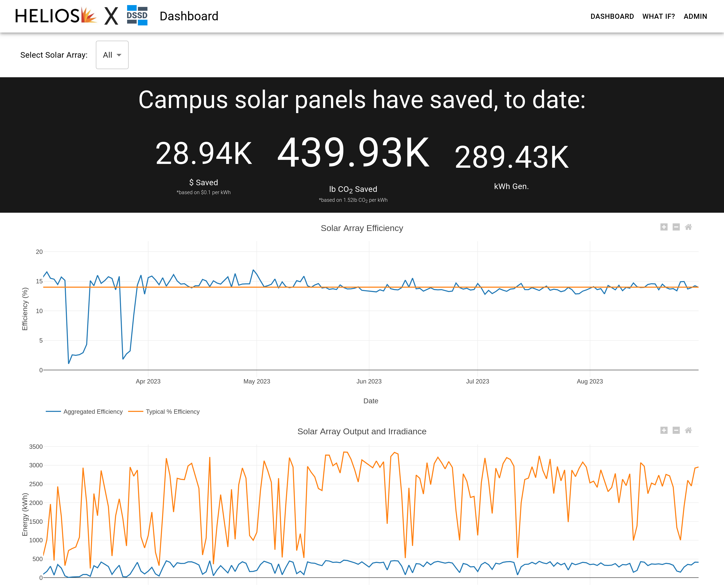
An interactive dashboard visualizing the efficiency, output, and iiradiance from several Helios Solar Panel arrays across UW Madison’s campus
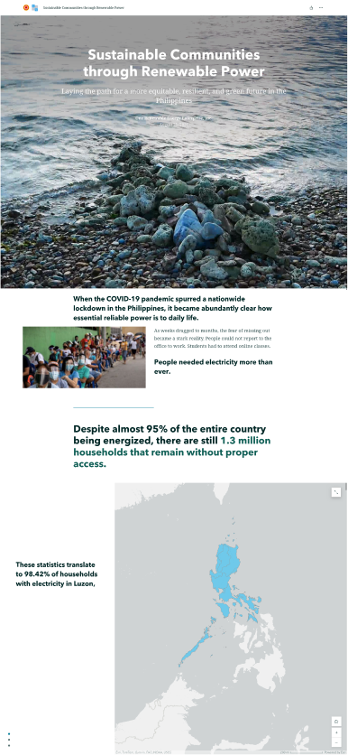
One Renewable
Sustainable Communities

A storymap illustrating the importance of renewable small-medium enterprises in addressing the ongoing energy crisis in the Philippines
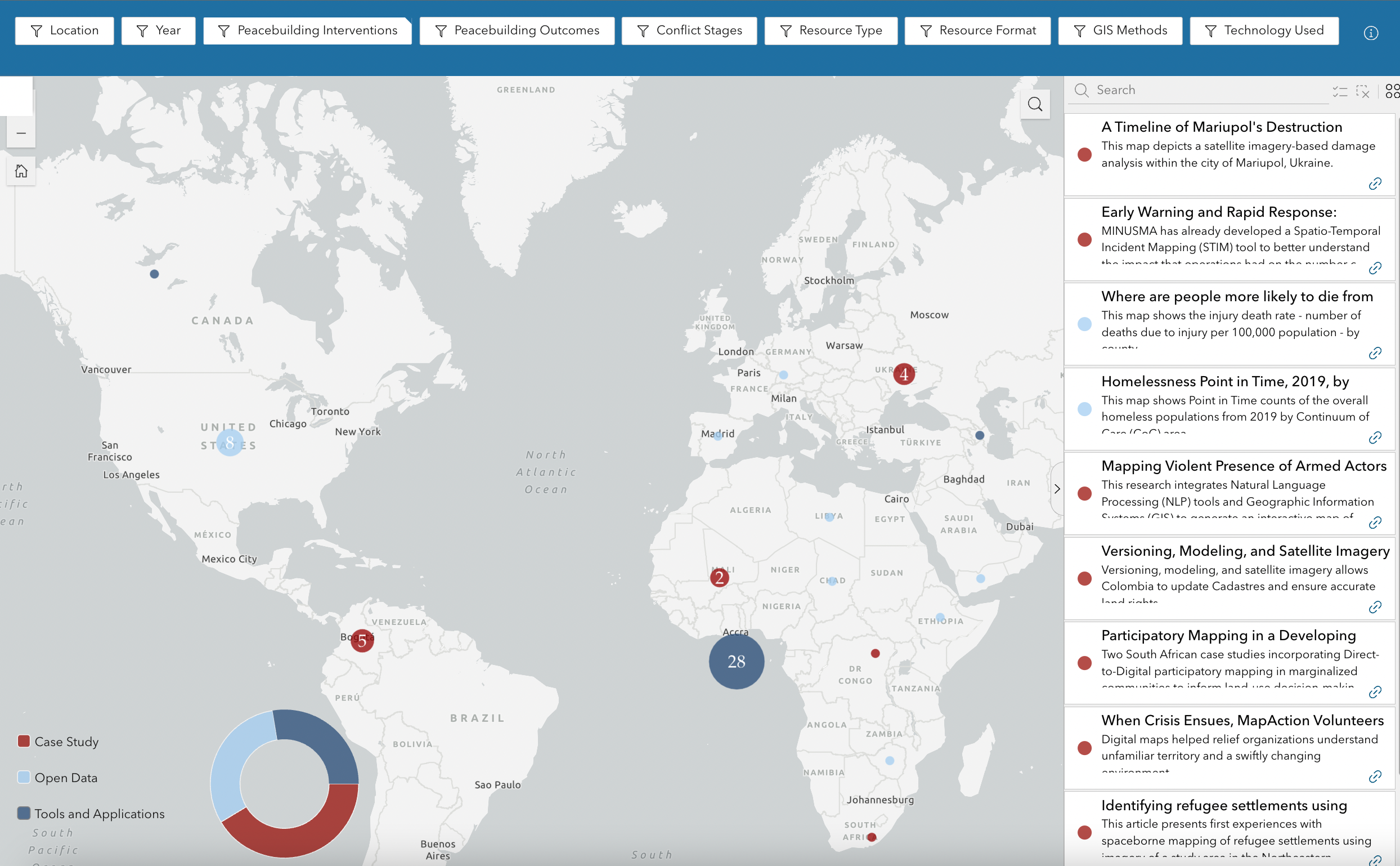
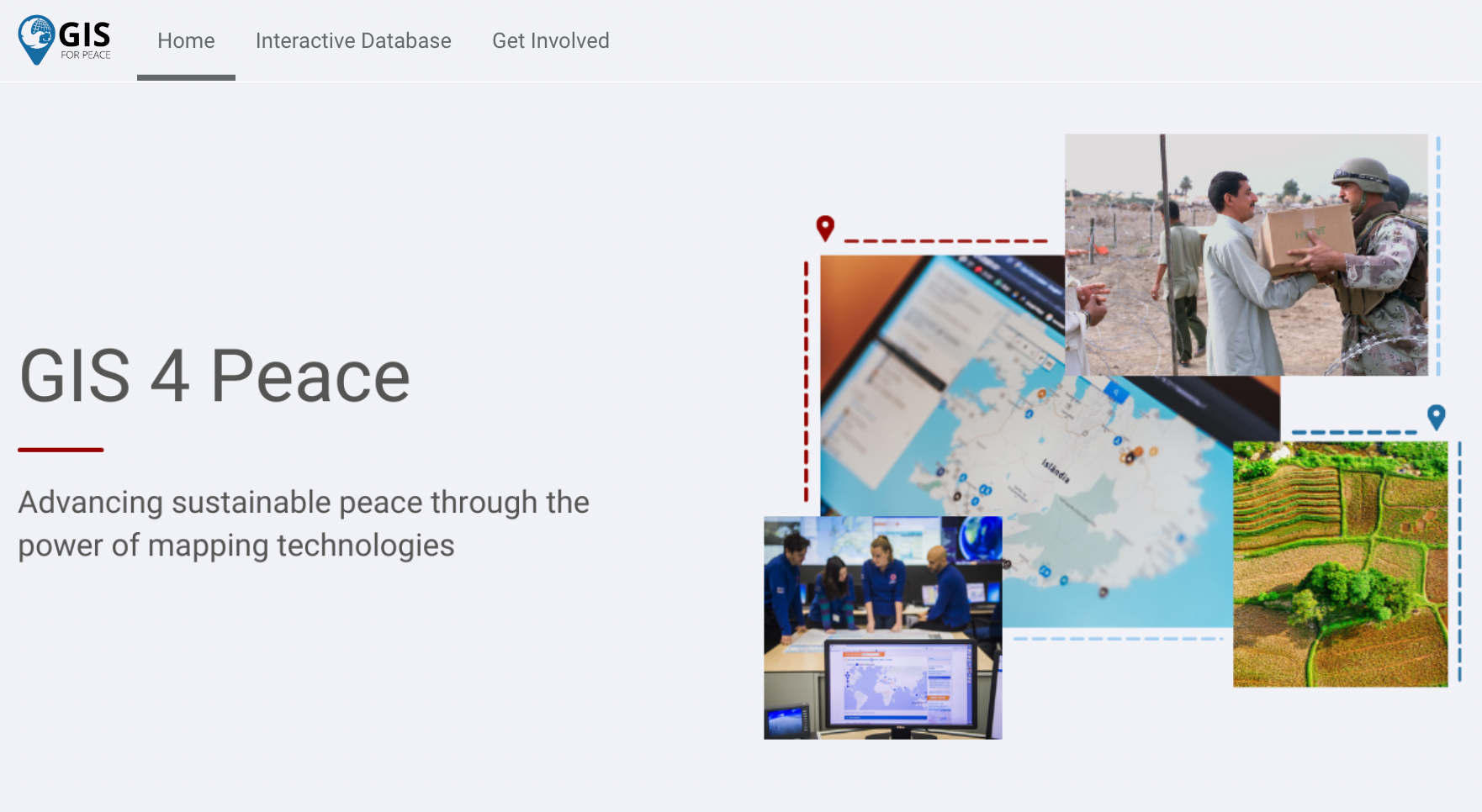
Esri Humanitarian Assistance
GIS for Peace
DSSD built GIS for Peace, a community engagement platform hosting knowledge and inspiration about GIS applications for peacebuilding in one interactive, searchable, and filterable website. The platform is primarily geared towards peacebuilders who are interested in enhancing their work through geospatial analytics, as well as stakeholders who are interested in bridging GIS and peace.
Atrocity Prevention Lab at Harvard Humanitarian Initiative
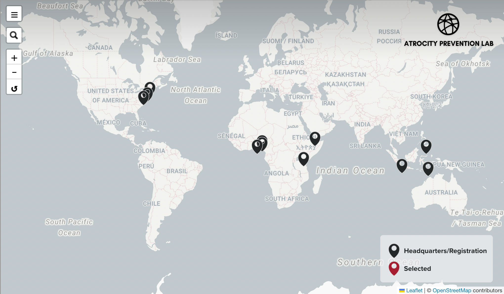
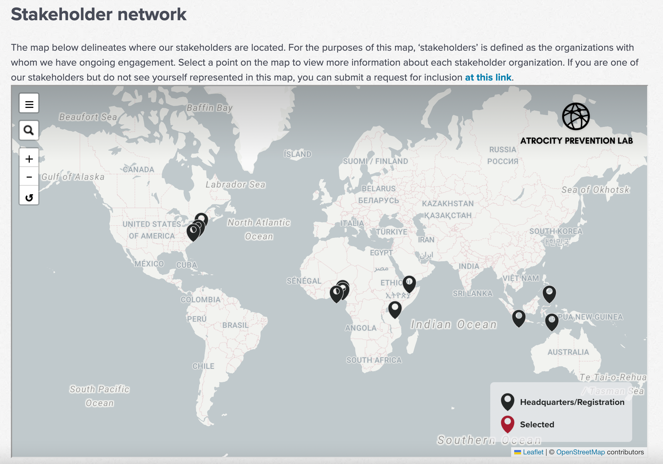
Interactive Stakeholder Map
DSSD created an interactive stakeholder map for the Atrocity Prevention Lab to showcase the reach of its network around the world.
Mediators Beyond Borders International
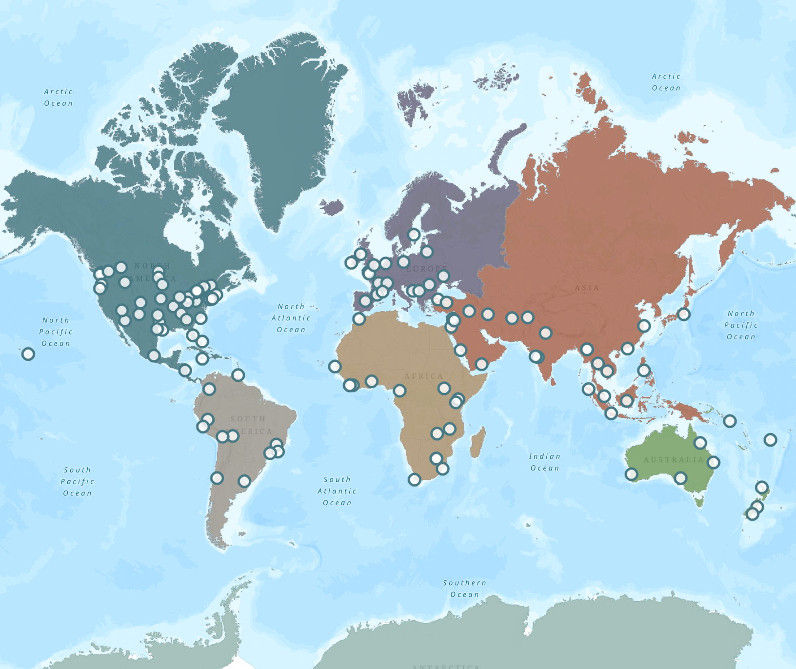
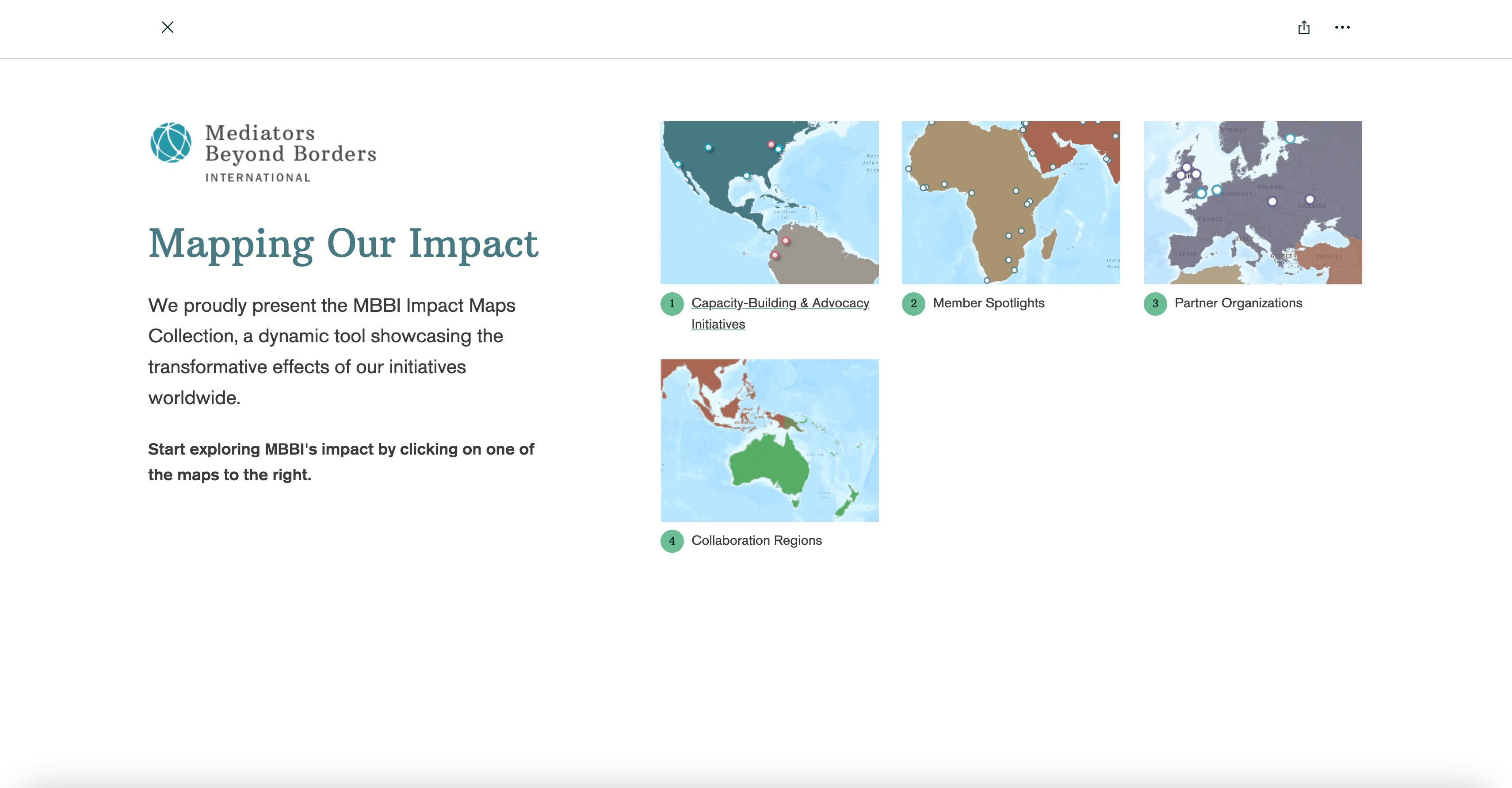
MBBI Impact Maps Collection
DSSD constructed the MBBI Impact Maps Collection, a dynamic series of StoryMaps showcasing the transformative effects of MBBI's initiatives worldwide.
QuaRCS
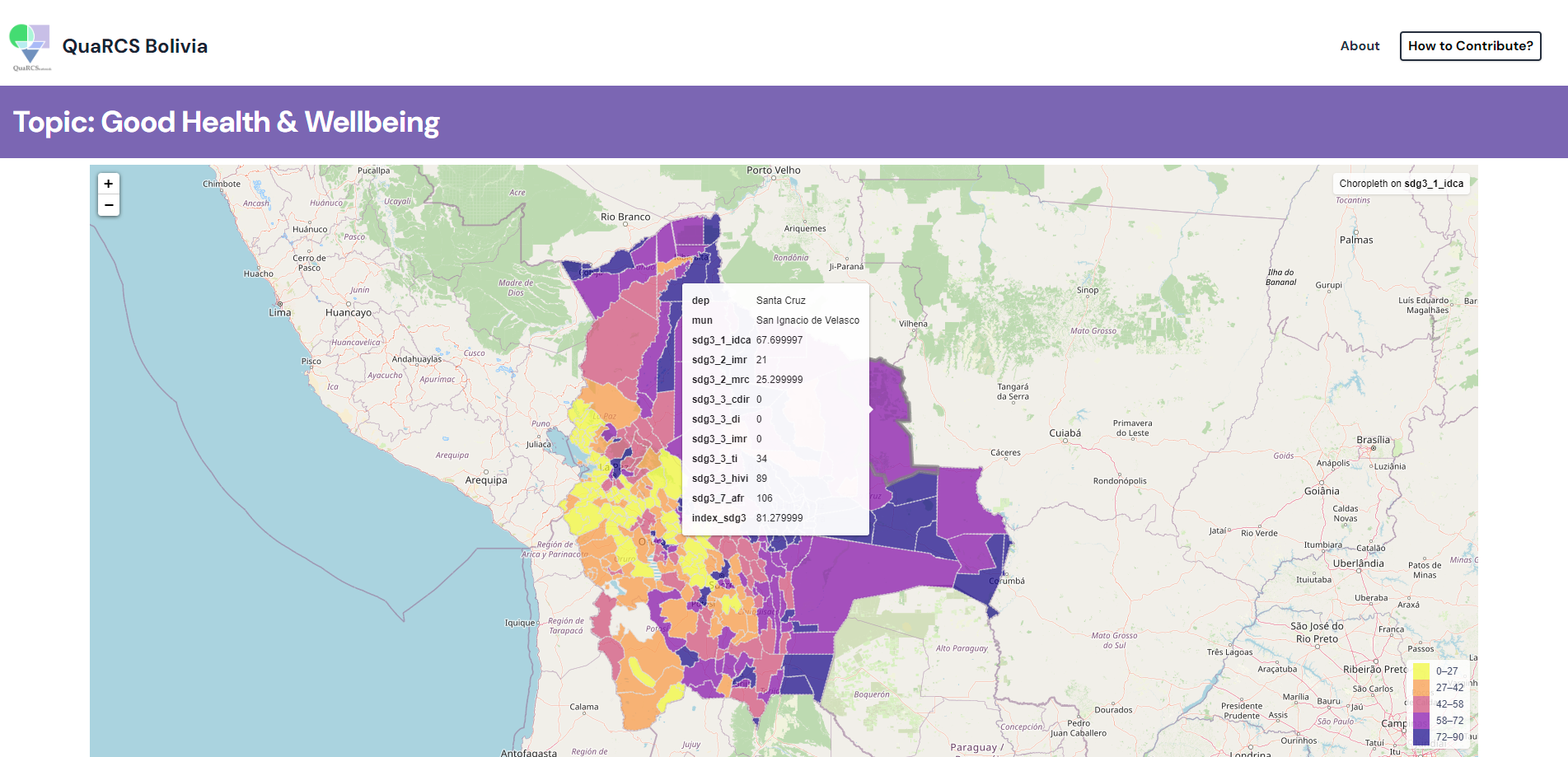
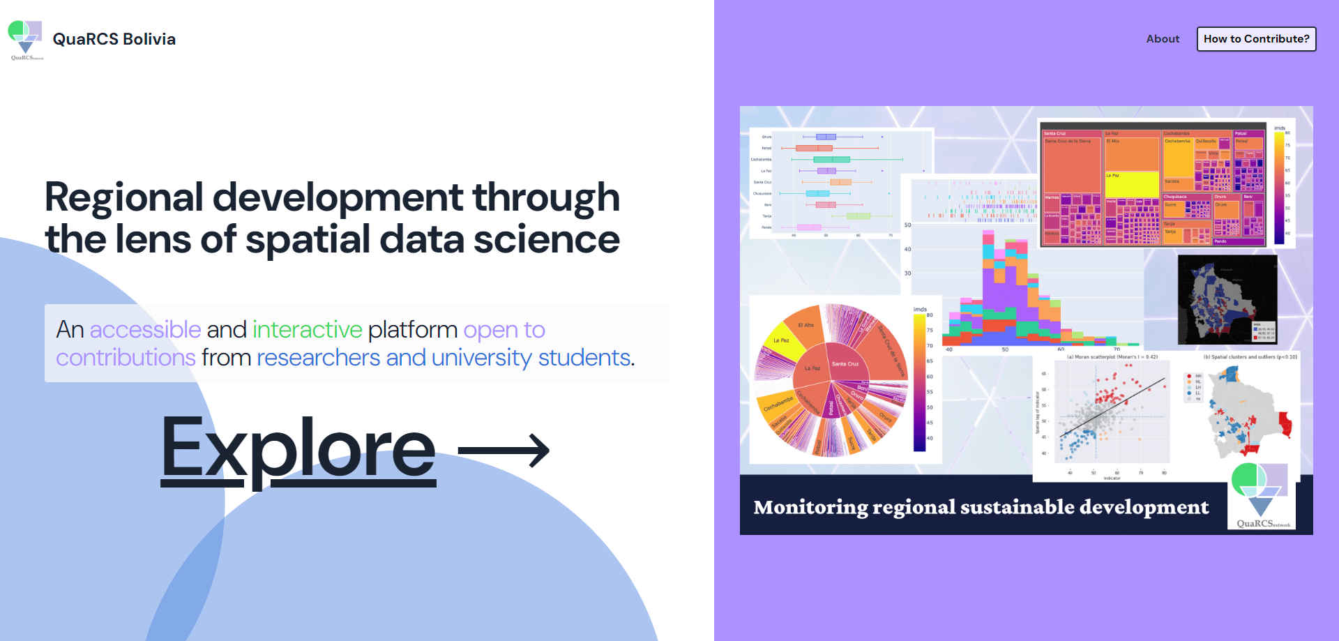
QuaRCs Bolivia SDG platform
The QuaRCS interactive database provides access to data on approximately 139 variables (i.e., population, nighttime lights, electricity coverage, CO2 emissions, etc.) in Bolivia across the 17 SDGs.
Couillard Solar Foundation
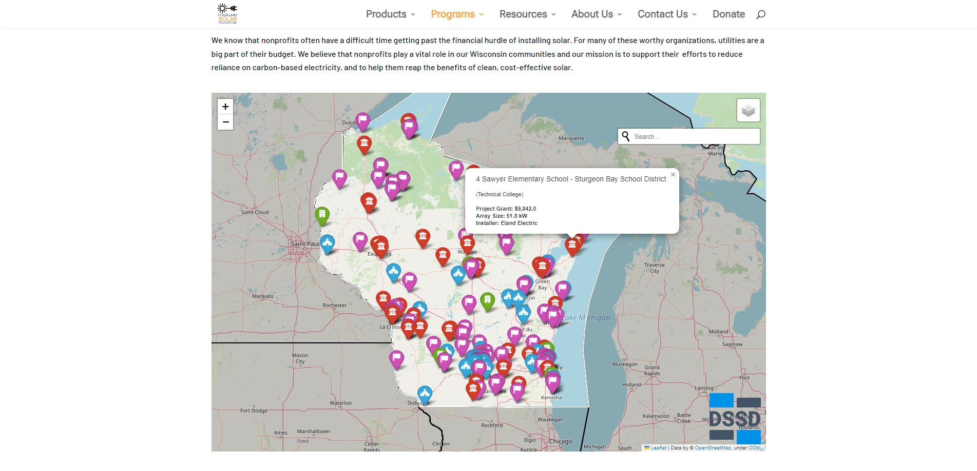
Couillard Solar Foundation Project Map
The CSF Project Map displays the coordinates of 257 installations in the State of Wisconsin along with the type of location, the array size, the grant amount provided by CSF, the installer, and any pictures available.

RENEW Wisconsin
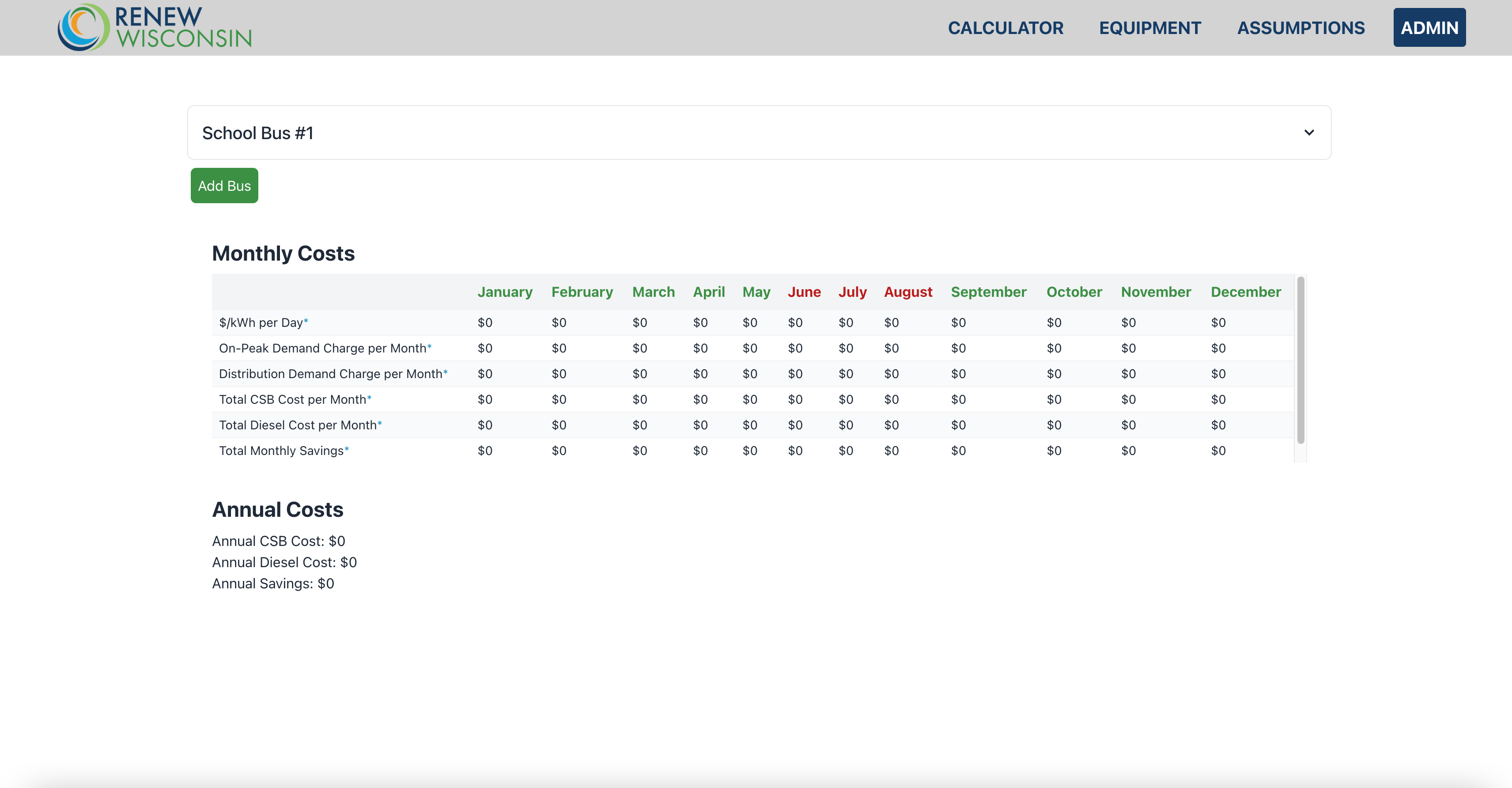
Electric Bus Cost Savings Calculator
An Electric Bus cost savings calculator on a web interface, which aids school districts in interpreting and visualizing the benefits of investing in electric school buses
Our Partners
Organizations we've worked with







Have a project for DSSD?
We selectively partner with mission-aligned nonprofits on scoped technology projects.